
How Sandy Residents Are Found
Sandy is a municipality in Salt Lake County, but a Sandy mailing label does not by itself prove that a parcel sits inside the incorporated city. County islands, annexation edges, school areas, ZIP polygons, and city districts use different boundaries. Begin by writing down the exact street line, city label, ZIP, unit, and any parcel number. Then keep separate notes for an owner, a directory householder, a registered voter, a court party, and a historical subject. Those roles can belong to different people, or to one person at different dates.
A useful starter path moves from place to person. The Assessor offers the parcel and owner lead. The Recorder adds deeds, liens, plats, and other instruments. The Utah voter search may show public registration fields, while Xchange supplies public court information subject to classification. The library and archives fill older gaps. Use a negative-result sentence that names the interface and date, rather than treating an empty result as proof that a person never lived in Sandy.
- Normalize the address, including direction, street type, unit, and ZIP.
- Search the Salt Lake County Assessor by owner, address, or parcel and save the dated card.
- Carry the parcel ID and legal description to the Recorder’s free public search.
- Use the Utah voter, court, vital, or license source that matches the question.
- For older names, check the library, University of Utah directories, Utah Digital Newspapers, and State Archives.
For a whole street, move to the Sandy Street Directory workflow. For one named person, the Sandy Resident Lookup keeps the verification steps together.
Where Sandy Records Are Kept
The public trail crosses three government layers. Sandy City Hall, at 10000 Centennial Parkway, handles city actions, maps, departments, and municipal records. Salt Lake County holds the main parcel, Recorder, Clerk, elections, Sheriff, and Archives functions. Utah state offices hold courts, vital records, voter rules, licenses, business filings, and correctional records. The Sandy maps hub is useful for orientation, but it is not a resident list.
Salt Lake County Recorder
2001 S State Street, Suite N1-600
Salt Lake City, UT 84190
385-468-8145
Salt Lake County Assessor
County parcel and valuation records
Salt Lake County, Utah
385-468-8000
Salt Lake County Clerk Elections
County voter and election-data route
Salt Lake County, Utah
385-468-7400
The County Recorder generally publishes Monday through Friday, 8:00 a.m. to 5:00 p.m., excluding holidays. RecorderQ@saltlakecounty.gov and the office phone provide an alternate channel when an online result is incomplete. Sandy City’s main phone is 801-568-7100. A city request should name the department, meeting body, address, date range, and existing record type rather than asking the city to create a new people list.
Start With a Sandy Parcel
The Salt Lake County Assessor search is often the cleanest first move when an address is known. The form accepts owner last name, owner first name, frontage number, direction, street name or number, type or direction, and parcel number. Owner searches need at least three letters and support partial names. A parcel search can use the first ten digits, with the final four encumbrance digits added when available. The first seven digits can search a block.
| Owner | Last and first name; partial owner search is supported. |
|---|---|
| Address | Frontage number, direction, street name or number, and type or direction. |
| Parcel | First ten digits, optional final four digits; first seven digits can search a block. |
| Result card | Owner, address, parcel, value history, tax district, legal description, zoning, utilities, coordinates, and building fields. |
One official Sandy sample, parcel 28-06-171-002-0000, lists the Redevelopment Agency of Sandy City, 104 E 8960 S, a 0.11-acre residential-lot class, tax district 35, and full exemption. The card also carries 2021-2026 value history and a CAMA snapshot dated May 22, 2026. That record demonstrates why an owner line is not the same as an occupant line. A second sample, parcel 08-34-426-020-0000, shows State of Utah ownership, about 0.65 acres, a commercial or other class, and a metes-and-bounds description.
The county’s Assessor GIS and Parcel Viewer explains that parcel information comes from the Recorder and should be read with recorded plats and legal descriptions. Save the record date, tax district, owner label, and parcel ID before moving to another source.
Current Sandy Directory Sources
No single current roster covers every person in Sandy. Each source describes a different relationship to a place. The table below keeps those meanings distinct and gives the best documented access route.
| Source | What It Lists | Custodian | Access |
|---|---|---|---|
| Assessor parcel card | Owner, parcel, assessed facts | Salt Lake County Assessor | Free public search |
| Recorder index | Parties to deeds, liens, plats, and other instruments | Salt Lake County Recorder | Free index; images and packages vary |
| Voter search | Public registration fields and vote participation history | Utah elections offices | Public search, protected fields withheld |
| Court Xchange | Public district and justice case information | Utah Courts | Guest access; images can cost extra |
| License or entity record | Professional or business relationship | Utah Commerce | Public lookup or request route |
The Utah voter search has First Name, Last Name, Date of Birth, Street Address, City, and Zip fields. Public information can include a name, physical and mailing addresses, age range or year-of-birth presentation, party affiliation, and which elections a person participated in. It does not show how anyone voted. DOB, Social Security number, driver-license or state-ID data, email, and phone are protected. At-risk records are withheld, so an absent result needs careful wording.
Follow the Salt Lake County Deed Trail
The Recorder’s free public search asks the user to accept the terms and select an address or parcel number from an autocomplete. The public notice says property information may be 24 hours old or older, and a title search is necessary. Recorded images are typically available the next working day, although plats may take longer. The chain-of-conveyance printer-friendly route gives a useful backward path for property history.
Recorded series include deeds, mortgages, leases, liens, mining and water records, powers of attorney, bills of sale, affidavits, military discharges, and subdivision plats. Plats can show streets, lots, blocks, and owners. The Permanent Parcel Control Book tracks parcel splits, combinations, and new numbers. A 2016 Recorder audit reported 227,985 documents recorded in 2015 and data for about 350,000 parcels, a historical scale marker rather than a current count.
Research lead. If an owner-name search is unclear, carry the parcel ID and legal description into the Recorder chain-of-conveyance workflow before trying more name variants.
Property Watch is a separate free alert service. Select the physical property address, include N, S, E, or W, and keep typing if the first ten suggestions do not contain the right line. A duplex may need a number range. Alerts identify a parcel number, entry number, document type, and recorded date, but they do not determine clear title.
What Utah Voter Records Reveal
Utah’s public voter tools help answer whether a registration record was visible for a given search and date. They do not prove current physical presence, household size, or a city boundary. The statewide data-request page describes larger products, including a statewide file with legal name, voter ID, age range, full residential address and unit, county, districts, party or unaffiliated status, active or inactive status, last update, and vote history. Its listed date and price are time-sensitive: the research capture described a $1,050 tab-delimited file and a March 8, 2026 data date before May 25, 2026.
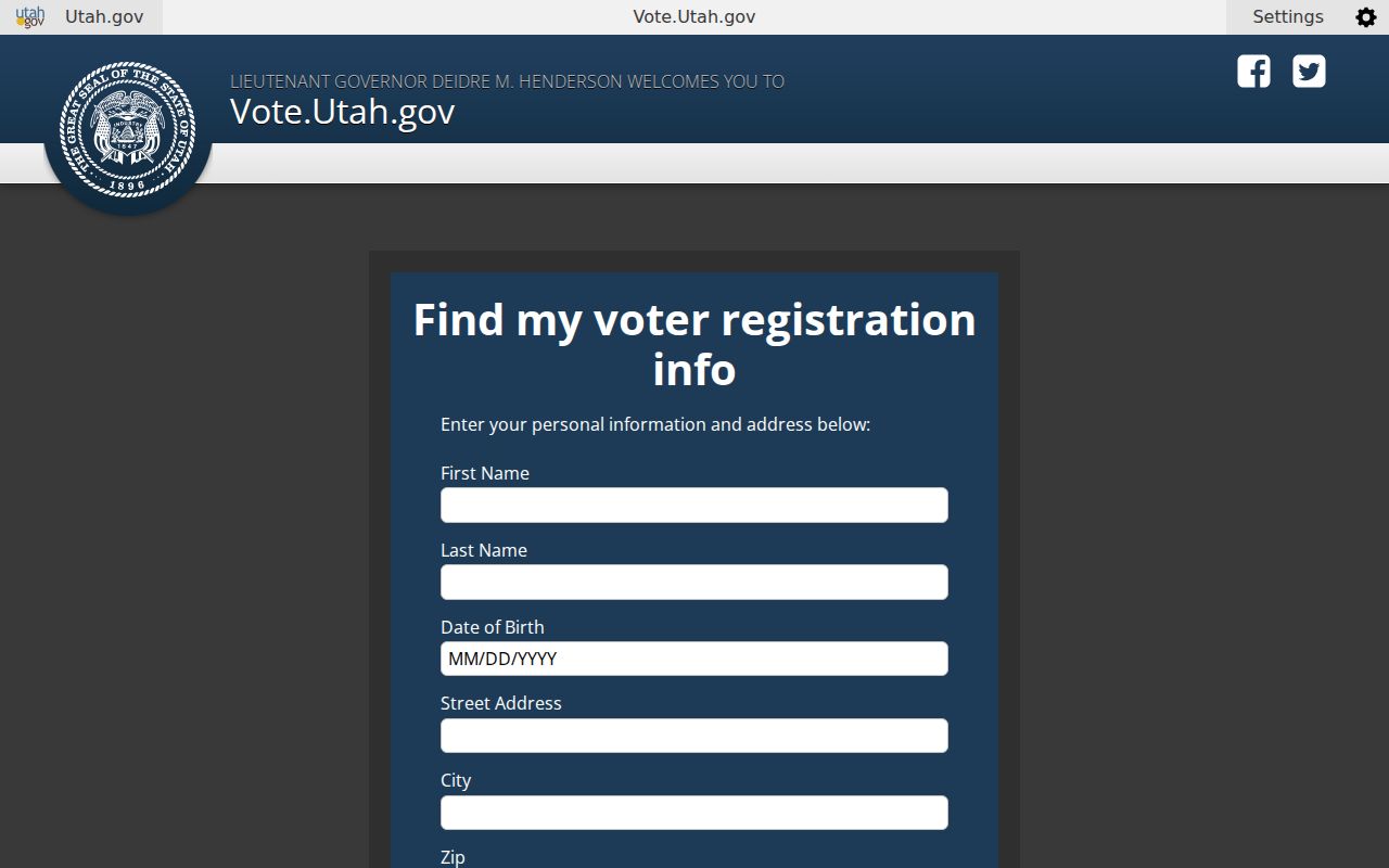
County-specific lists come through the County Clerk. Who-voted and absentee reports were listed at $35 per election for specified regular even-year elections. Utah says voter records are retained permanently, while at-risk designations can withhold records from public view, political parties, and candidates. The at-risk form uses a name plus an address or date of birth to locate the record, a category, certification, and signature.
For a Sandy block, pair a voter result with a parcel and district date. Do not reconstruct a protected address through a deed, map, directory, or another database.
Courts and Vital Records Need Care
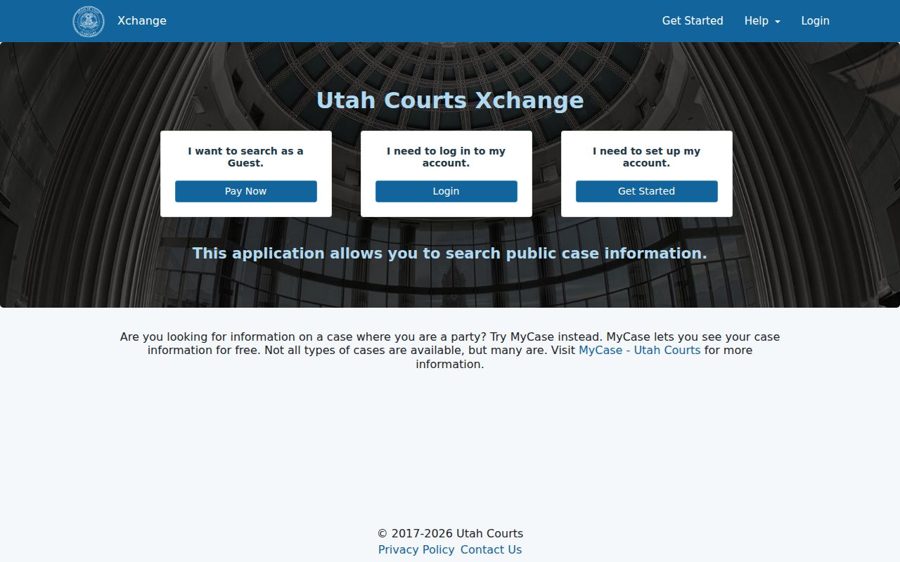
Sandy Justice Court is listed at 210 W Sego Lily Drive, Sandy, UT 84070, phone 801-568-7160. Utah Courts Xchange is the statewide search layer for district and justice case information. Public documents filed since July 1, 2010 can be available there, while older converted cases may have less information. A public terminal is available at most district courthouses. Guest access is visible, and document images can be purchased.
Public does not mean complete. Sealed, expunged, juvenile, adoption, private civil, and other protected matters are excluded or restricted. If the index is not enough, a court request can seek an existing record. The request page lists 15 minutes of staff time as free, then $15 per hour, with separate charges for paper, electronic media, audio, video, fax, email, and certified copies. Check the court’s current fee page before payment.
Utah OVRS holds modern Utah birth and death records. Death records run from 1905 forward, with Archives access after 50 years. Salt Lake County Clerk handles marriage licenses and copies, while County Archives is a research target for marriages before 1940. Certified access depends on identity, relationship, ID, and legitimate interest. A vital index is not a certified certificate.
Sandy’s Historical Directory Shelf
The University of Utah’s digitized Utah City Directories Collection contains 232 items arranged by residents, streets, businesses, organizations, institutions, publishers, and geography. R.L. Polk volumes from 1921, 1930, 1933, and 1939 include Sandy or its suburbs. Suburban volumes from 1974, 1979, and 1980 include Sandy among valley communities. A title that says Salt Lake City may still contain Sandy pages.
The Sandy Library is at 10100 S Petunia Way, Sandy, UT 84092. The County Library genealogy service lists Ancestry Library Edition for on-site use, Utah Digital Newspapers, Utah NewsSearch, Chronicling America, and state archive resources. Broad genealogy hours are Monday through Thursday 10:00 to 9:00, Friday and Saturday 10:00 to 6:00, Sunday closed; verify a branch before visiting. The County Library does not publish a complete run-by-run Sandy shelf list, so ask a librarian to check the catalog and local-history shelves.
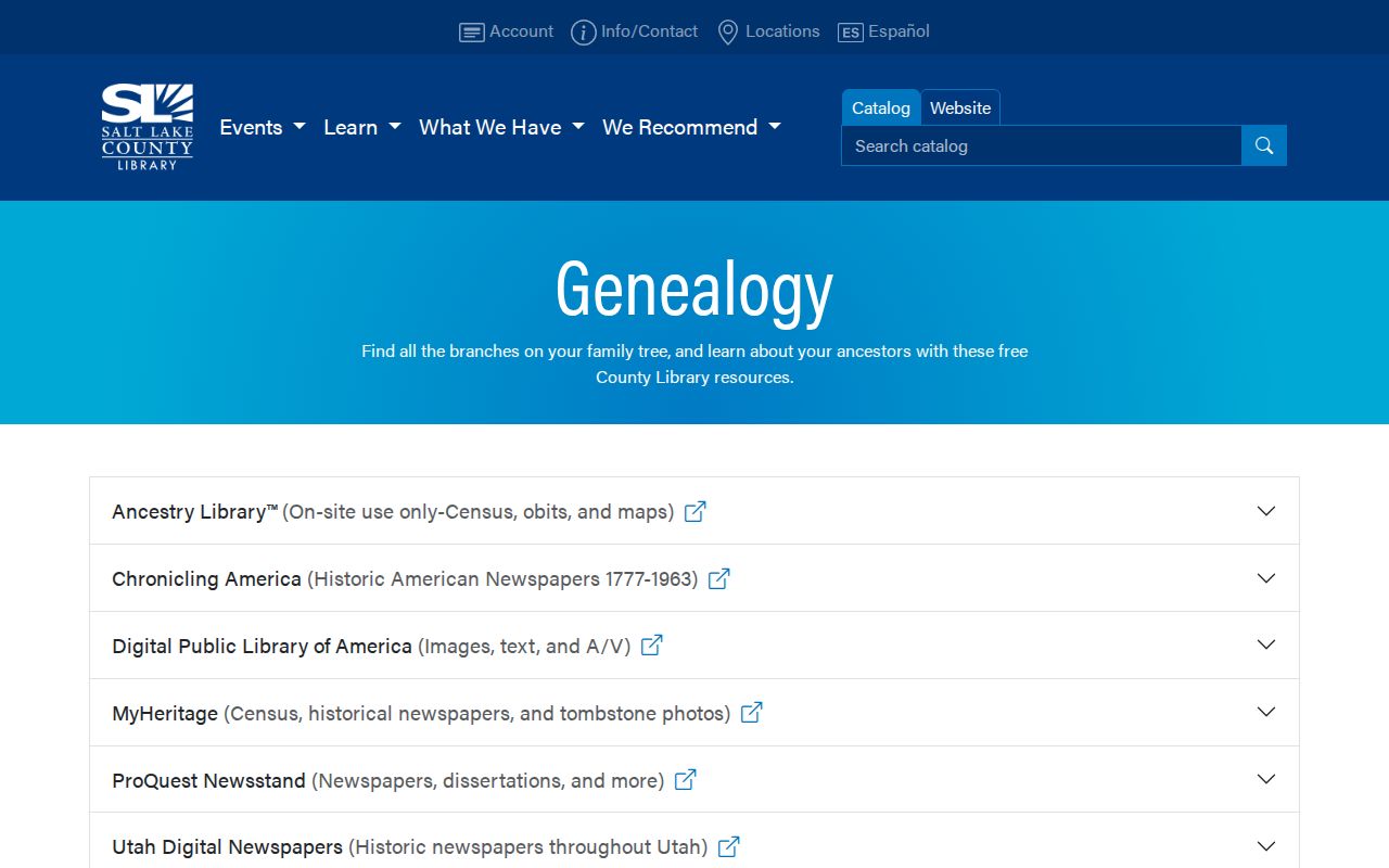
Utah Digital Newspapers has more than one million searchable pages, but OCR can misread a surname. Check the page image, date, and place. The State Archives finding aids and the Utah Historical Society’s collections add local material, including the Sandy City Certified Local Government Oral History Collection, Mss B 694.
Sandy ZIP Codes Are Postal Geography
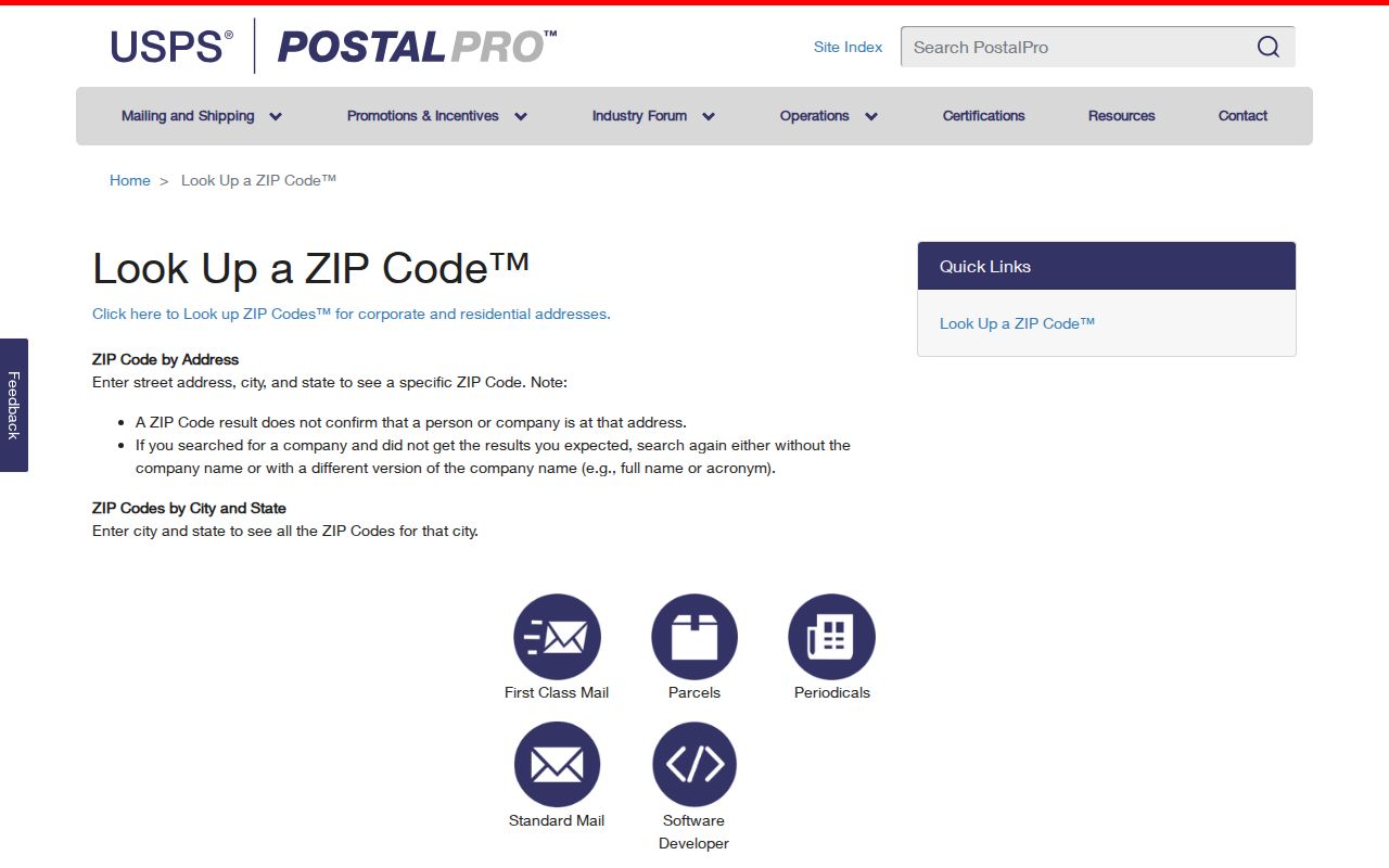
USPS offers ZIP Code by Address and ZIP Codes by City and State. Sandy routing includes 84070, 84091, and 84094 for the Sandy 84070 post office, and 84090, 84092, and 84093 for the Sandy 84092 post office. The Sandy Post Office is at 8850 S 700 E, Sandy, UT 84070-9998. Alta Canyon is at 9265 S Highland Drive, Sandy, UT 84093-9998, and Sandy City Centre is at 215 W Sego Lily Drive, Sandy, UT 84070-9997.
Utah’s ZIP Code Areas documentation says the polygons are approximate delivery geography, not legal boundaries. Public-health analysis uses Sandy Center, Sandy Northeast, and Sandy Southeast groupings that do not replace USPS or Sandy City lines. A full ZIP+4 should be preserved when supplied. For a boundary case, compare the USPS result, county parcel map, Sandy maps, and Utah ZIP polygon.
When a Search Box Is Not Enough
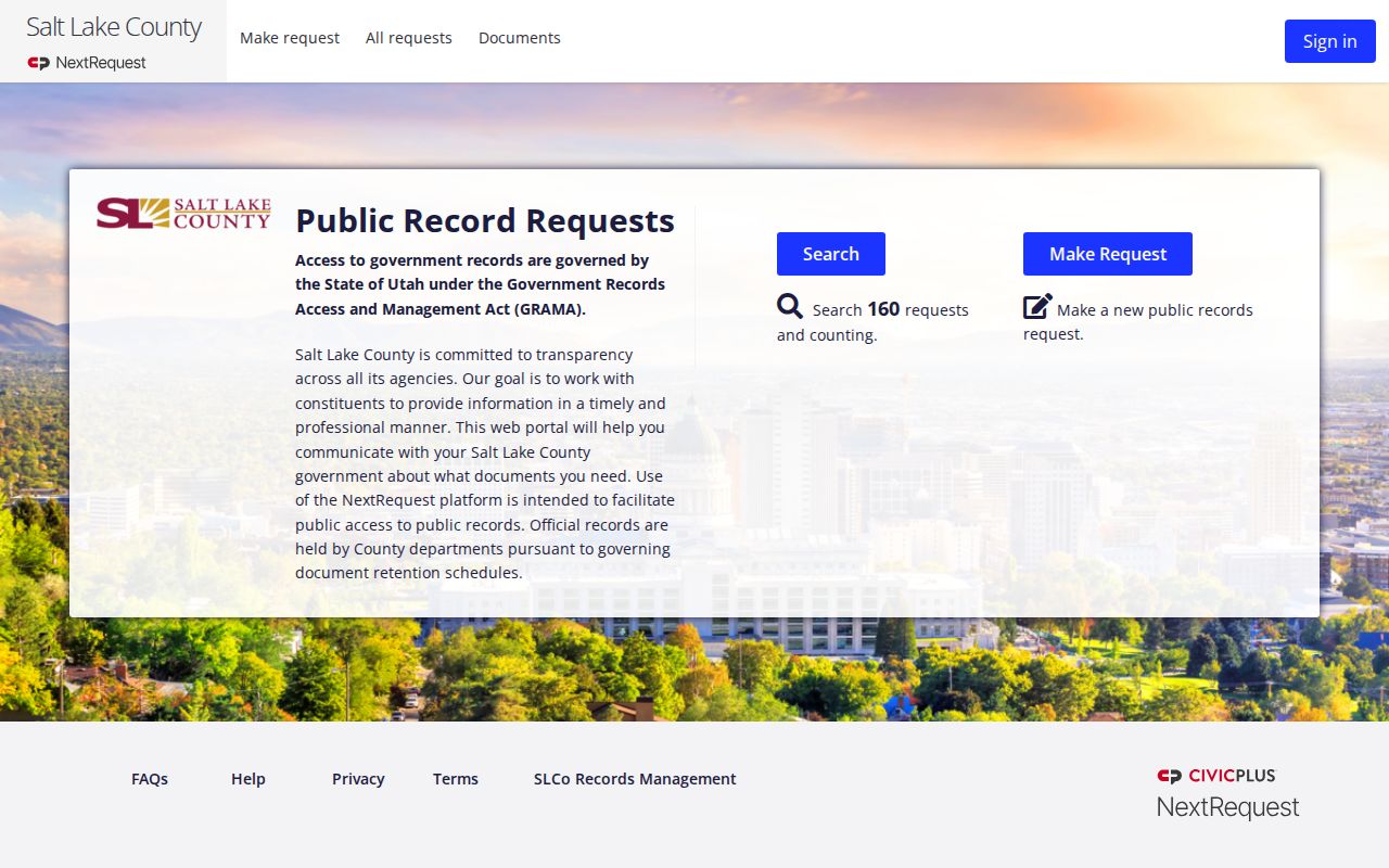
Salt Lake County uses NextRequest and a GRAMA form for existing public records. A request should identify the agency, record type, subject, year or date range, inspection or copy choice, contact details, and any fee-waiver request under Utah Code 63G-2-203(4). Do not place a Social Security number in the request. The agency need not create a new list, and classification or redaction can limit what is released.
Utah Archives guidance says an agency should respond as soon as reasonably possible and no later than ten business days under Utah Code 63G-2-204(3), or five business days for a qualifying expedited request. Actual reasonable costs can apply, and prepayment over $50 may be required by the county form. Log the request number, wording, fee authorization, response date, withheld categories, and appeal deadline.
Four Labels That Prevent Mix-Ups
A directory result is easier to use when its record role stays visible. A name in an assessor card is not automatically a household member. A voter entry is not a census. A deed party is not necessarily an occupant. These definitions keep a Sandy residents directory useful for family history, property research, civic questions, and reconnecting.
- Roll
- A list kept for a defined purpose, such as voter registration or a tax assessment.
- Index
- A finding aid with names and record clues; the underlying image or certified record may be separate.
- Parcel
- A mapped unit of land identified by a county parcel number and legal description.
- Criss-cross directory
- A reverse directory arranged by address or street so a researcher can move from place to household.
Use at least one second discriminator for a same-name match: address, parcel, age range, middle initial, spouse or parent, court number, license number, or a corroborating historical item. Same name plus ZIP alone is weak.
From Territorial Road to Dimple Dell
Sandy’s records reflect a place that changed shape. Settlement developed in the 1860s, a post office opened in 1871, a 160-acre townsite was surveyed, and Sandy incorporated on September 25, 1893, at roughly 1,000 residents according to the city’s general-plan history. Utah Historical Society material describes a mining, smelting, and small-farm era from 1871 to 1910. Early homes and farms followed the Territorial Road corridor now associated with State Street.
The Spencer Homestead offers a careful local case study. Thomas and Sarah Spencer held a 160-acre Sandy homestead in the 1890s. The property changed hands twelve times from 1910 to 1970, and Salt Lake County acquired 47 acres in 1970 for Dimple Dell Regional Park. That story is useful for testing a deed chain, a historic-property form, a map, and a directory without turning a historical parcel into a current household list.
Salt Lake County’s historic-property records digitization project is listed as in progress, with an $85,000 Smart Government Fund allocation to convert more-than-century-old paper archives into a secure searchable system while preserving originals. Treat a future portal change as an access update, not as proof that every old Sandy record is already online.
Historical Sandy Resident Directories
Older city directories can place a person at a street, list an occupation, show a spouse or household mark, and expose a business or civic setting. They are snapshots, not censuses. Search the alphabetical residents section, then the street or householders section, business and classified pages, and the nearby cross streets. Preserve printed initials and abbreviations exactly. A 1930 Polk volume includes alphabetical private citizens, a street and householders directory, classified business pages, a business map, and a buyers’ guide.
For a full collection-by-collection treatment, use the Sandy Directory Book. A current parcel question belongs in the address workflow, while a person who needs confirmation belongs in a one-person lookup. The best Sandy residents directory result states whether the name was an owner, grantee, directory householder, voter public-field match, court party, or historical subject.
Safety boundary. Public records support lawful personal research. Do not use a Sandy record trail to stalk, harass, monitor, or harm another person, and do not work around a protected-record designation.