
Sandy ZIP Codes and Their Routes
USPS destination listings connect Sandy postal routing with six ZIP codes. The groupings below help expand a search, but they do not define incorporated Sandy, a neighborhood, or a legal parcel boundary. Preserve the full ZIP+4 when a source supplies it.
| ZIP Code | Areas or Routing Group | Post Office | Notes |
|---|---|---|---|
| 84070 | Sandy Center grouping; Sandy postal area | Sandy 84070 | Also used in city-centre addresses |
| 84091 | Sandy Center grouping | Sandy 84070 | Postal routing, not a city line |
| 84094 | Sandy Center grouping | Sandy 84070 | Also used in health-analysis grouping |
| 84090 | Sandy Northeast grouping | Sandy 84092 | Compare with parcel and city maps |
| 84092 | Sandy Southeast grouping | Sandy 84092 | Sandy Library carries this ZIP |
| 84093 | Sandy Northeast grouping | Sandy 84092 | Alta Canyon address uses this ZIP |
The Sandy Post Office listing is 8850 S 700 E, Sandy, UT 84070-9998. Alta Canyon is listed at 9265 S Highland Drive, Sandy, UT 84093-9998, and Sandy City Centre at 215 W Sego Lily Drive, Sandy, UT 84070-9997. The research notes location-specific hours, so confirm the current hours before visiting or relying on a counter service.
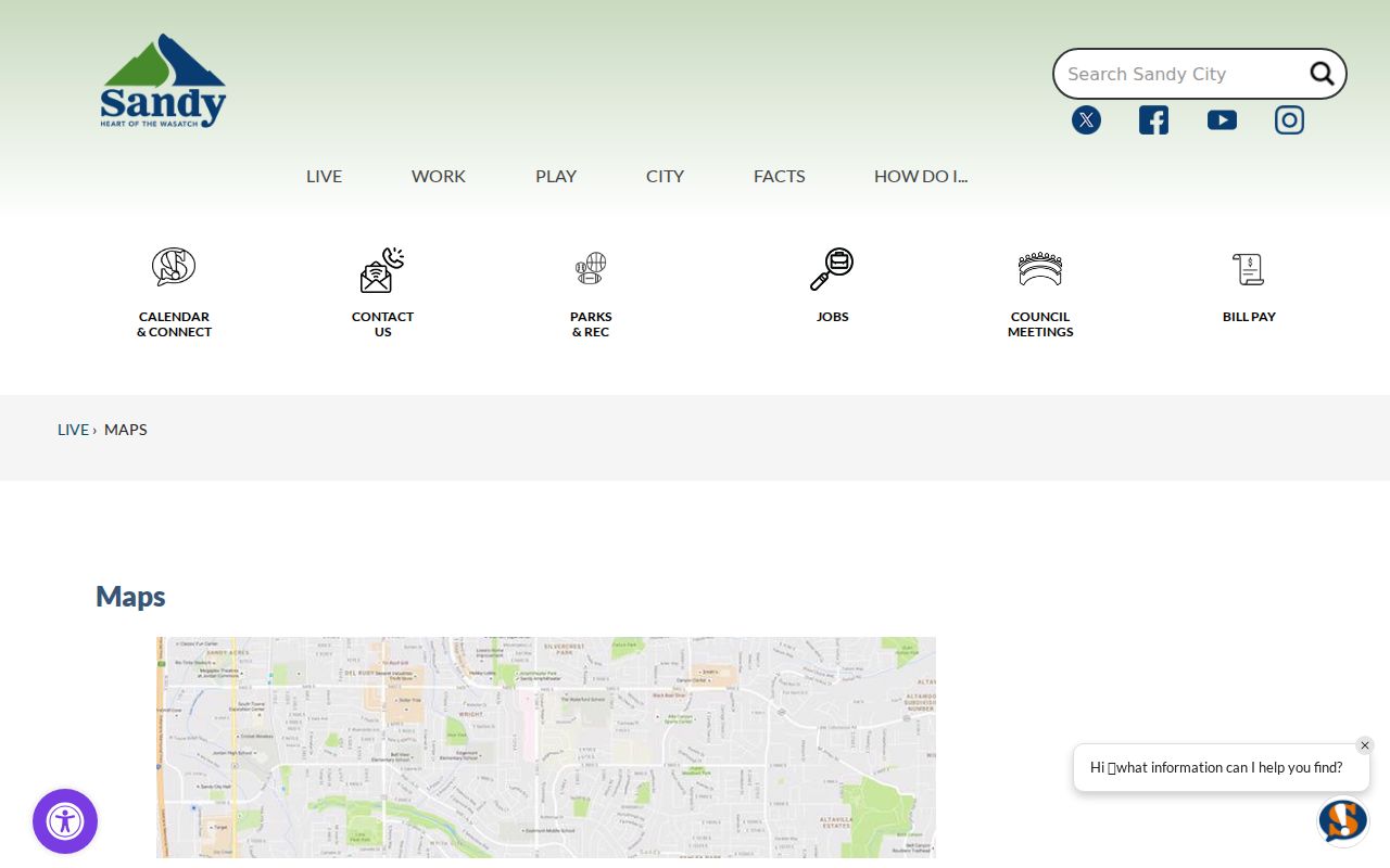
Utah public-health analysis uses Sandy Center as 84070, 84091, and 84094; Sandy Northeast as 84093 and 84090; and Sandy Southeast as 84092. Those labels are analytical groupings. They can be useful for reading a report, but they are not USPS delivery guarantees or Sandy City legal neighborhoods.
Find Records Inside One ZIP Code
A ZIP code can narrow a voter-file request, a professional-license data request, a library search, or a historical directory run. It is less reliable for a parcel join than the exact address and parcel ID. The safest ZIP code directory workflow is short and source-aware.
- Use the USPS ZIP lookup with the complete street address, city, and state.
- Compare the returned ZIP and postal city label with the Salt Lake County Assessor address and parcel card.
- Use the Sandy map hub and county Parcel Viewer to compare municipality, tax district, and nearby parcels.
- For people records, check the Utah voter search or request product and note its date and protected-field rules.
- Once one ZIP points to a street, move to the Sandy Street Directory for the address chain.
The ZIP code directory should not treat a returned ZIP as proof that a person or company is at an address. USPS states that its lookup does not confirm a person or company’s presence. The county Assessor and Recorder answer parcel and recorded-instrument questions; the ZIP only helps sort or expand the search.
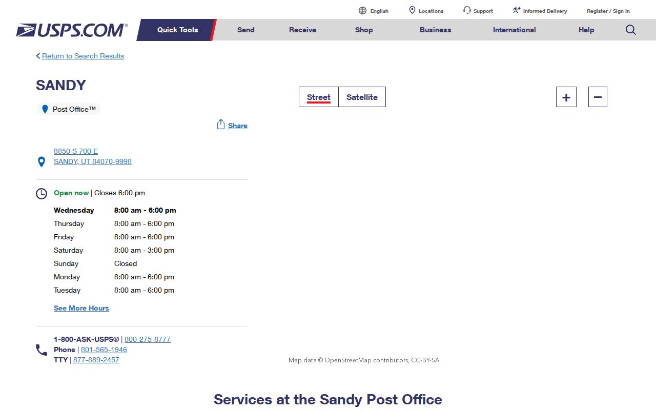
What the USPS Lookup Asks For
The official USPS service has two modes. ZIP Code by Address uses a street address, city, and state. ZIP Codes by City and State uses the city and state to return associated postal codes. It is built for delivery routing, so the result needs a separate municipal check when the question concerns Sandy City.
| Address mode | Street address, city, state; use the complete line when available. |
|---|---|
| City and state mode | City and state; useful for expanding a Sandy postal search. |
| ZIP+4 | A more specific delivery segment attached to a five-digit ZIP. |
| Result meaning | Postal routing information; not confirmation of a person, company, or legal boundary. |
Keep the city label returned by USPS as a postal label. Do not silently replace it with “incorporated Sandy.” An address can use Sandy in the mail line while sitting in a county island or another municipal layer. Conversely, a Sandy parcel can carry a ZIP that is not the familiar 84070. A ZIP code directory is strongest when both labels remain visible.
Utah ZIP Maps Are Approximate
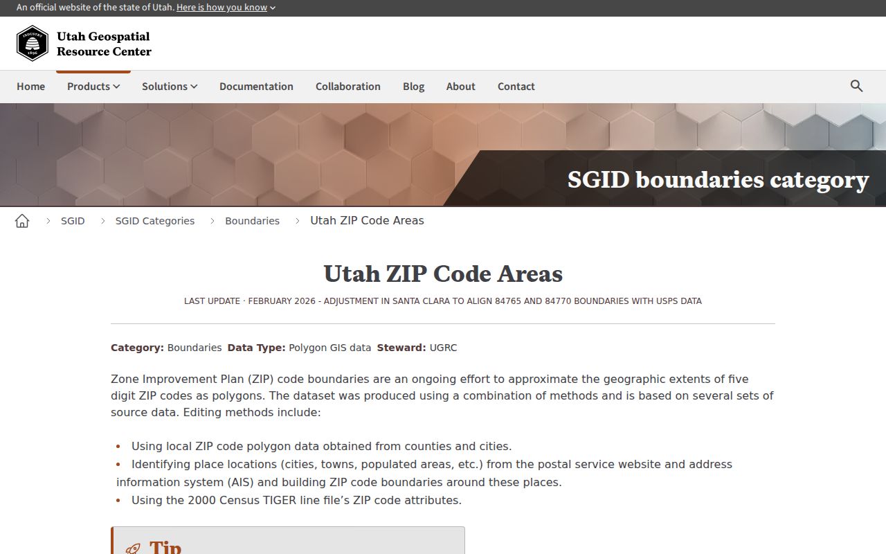
Utah’s ZIP Code Areas dataset documentation says ZIP polygons primarily describe mail delivery and do not represent specific geographic areas or legal boundaries. The feature service is published through ArcGIS at Utah ZIP Code Areas. Use it as a visual overlay. A legal parcel, recorded plat, city map, or address result should control the final jurisdiction note.
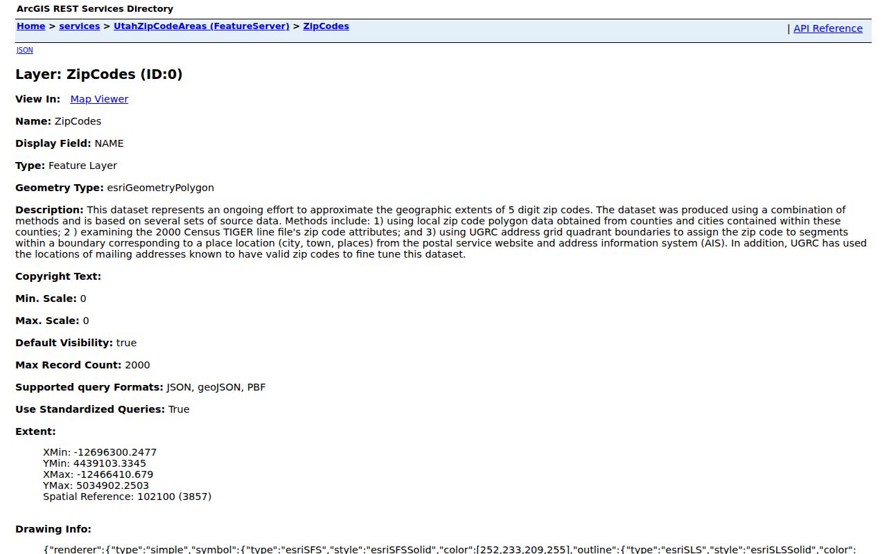
At an edge address, make a four-way check: USPS address result, Sandy City map, Salt Lake County parcel map, and Utah ZIP polygon. If they disagree, describe the difference as postal, municipal, county-island, or analytical geography. Do not label the disagreement an error without checking the custodian.
ZIP Filters in Utah License Data
Utah DOPL’s public data request is one documented ZIP-capable source. It can filter by profession, ZIP, original-license date after or before, updated date after or before, expiration after or before, People, Organizations, or Both, status, and profession checkboxes. This is a public license data product, not a resident roster. A result shows a professional or organization relationship to a city or ZIP, not proof of a home address.
The DOPL Licensee Lookup also supports a name and profession search or a license-number search. Its typical result shows Licensee Name, City, Profession, License Number, and Status. The page states data current as of September 1, 2026 in the research capture. Public contact fields such as address, phone, and email are suppressed under the cited Utah provisions.
Listed DOPL bulk fees were $5 for the first 200 records, $0.03 for each additional record, or $0.01 per record for a full list. Fees and file dates can change. Confirm the current form before ordering.
Postal City Labels and Sandy Limits
A postal city label, a municipality, a county island, a school district, and a ZIP polygon are separate fields. Sandy’s official Neighborhoods page discusses County Islands and annexation eligibility. Utah Entities and Boundaries records list 2020 Sandy adjustments including Rossett Green Lane, Escalante Barcelona, Sublette Circle, and Robidoux. Those dated boundary records can help explain why an address search and city map do not line up.
Before assigning a record to Sandy City government, search the parcel in the Assessor, compare the county GIS and Sandy map, and check the relevant annexation entry. Search the Recorder by parcel and legal description, then search Sandy City records separately. The ZIP code alone cannot answer which office created a record.
Boundary check. A Sandy ZIP Code is a postal routing label. Preserve the incorporated-city or County-Island status beside it when the parcel is near an edge.
Older Directories Predate ZIP Codes
Historical city directories often list streets without modern ZIP codes. The R.L. Polk runs from 1921, 1930, 1933, and 1939 include Sandy or suburbs, while suburban volumes from 1974, 1979, and 1980 show a wider valley market. The University of Utah collection has 232 digitized items. Search “Sandy,” “Salt Lake City suburbs,” and the street or business section rather than filtering only by ZIP.
A historical ZIP code directory search can therefore start with a modern postal code but must end in a name, street, cross street, parcel, or publisher section. The County Library genealogy page offers Utah Digital Newspapers, Utah NewsSearch, Ancestry Library Edition on-site, and reference help. OCR needs page-image review. The library does not publish a complete Sandy directory run list, so ask the reference desk for the exact year.
ZIP Terms Worth Keeping Straight
These terms help prevent a postal result from being overstated.
- ZIP Code
- A five-digit USPS delivery-routing area, not a legal city boundary.
- ZIP+4
- An added four-digit segment that narrows delivery within a five-digit ZIP.
- PO-box ZIP
- A ZIP used for post-office box delivery, which does not identify a physical residence.
- Unique ZIP
- A ZIP assigned to one organization or institution rather than a broad delivery area.
- Carrier route
- A delivery route within the postal system, not a public list of people.
Use a ZIP code to group research. Use a parcel ID, legal description, or exact address to join property records. Use the record custodian’s own fields to identify people.
Limits of a Sandy ZIP Code Directory
A ZIP code directory cannot show every resident, prove current occupancy, or replace a voter, court, vital, deed, or parcel record. Some people are protected in voter systems, and historical directories omit households. The USPS result may be correct for mail and still wrong for a question about Sandy municipal jurisdiction.
Lawful use. ZIP-based research is for personal, lawful record work, family history, and civic understanding. Do not combine ZIP, parcel, voter, or directory clues to stalk, harass, intimidate, or harm another person.
When a ZIP has narrowed the search to a street, use the address-keyed workflow. When the question concerns a single name, use the resident lookup and preserve the source date and role.