
Sources Around a Sandy Address
A block lookup is a comparison of record layers, not a single neighbor list. The table keeps each source’s role visible. A map can show surrounding parcels without establishing that the owner lives there. A voter entry can show a public registration record without proving current presence. A community layer can identify a civic group without exposing its members.
| Source | What It Shows About a Block | Access |
|---|---|---|
| County Parcel Viewer | Adjacent parcels, lot context, tax districts, plat clues | Free viewer |
| Assessor parcel cards | Dated owner, mailing address, valuation and legal description | Free search |
| Utah voter search | Public registration fields and participation history | Public; protected records withheld |
| Sandy maps | Neighborhood Watch, quadrants, ZIPs, districts, parks, schools | Free city map hub |
| Historical directories | Past block households, streets, businesses, and institutions | Library or digitized collection |
The County Library does not publish a comprehensive current HOA or neighborhood-association roster. Use the official Neighborhood Watch map to identify a community layer, then contact the relevant city department or association’s own public channel for a meeting, boundary, or records question. A map label is not a list of residents.
Map the Parcels Beside You
The official county GIS and Parcel Viewer supplies the starting point for an adjacent-parcel walk. Begin with the known address, note its parcel ID and legal description, then inspect the lots that touch or face it. The research did not expose every rendered GIS click field, so describe the map as a parcel and context tool rather than promising a specific buffer control.
- Locate the address in the Salt Lake County Assessor GIS.
- Record the starting parcel, tax district, lot shape, street, and municipality clues.
- Inspect adjacent parcel IDs and use each ID to open a dated Assessor card.
- Compare owner line, mailing address, legal description, and record date without calling the owner an occupant.
- Use a plat or Recorder instrument for a stronger lot identity, and stop when the lawful question is answered.
Salt Lake County says parcel information comes from the Recorder and that recorded plats and legal descriptions should guide interpretation. A map screenshot is weaker evidence than a recorded plat. For the whole named street, use the Sandy Street Directory workflow instead of expanding a block search indefinitely.
Owner Lines Are Not Household Lists
The Assessor card may show an owner, parcel, assessed value, tax district, exemption, legal description, structure, and CAMA date. A public agency, trust, business, or absentee owner can appear. The county’s sample Sandy parcel 28-06-171-002-0000 lists the Redevelopment Agency of Sandy City, 104 E 8960 S, a 0.11-acre residential-lot class, tax district 35, and full exemption. It does not name people who occupy the property.
Use the Recorder for deeds, liens, plats, mortgages, and releases. The free public search requires terms acceptance and an address or parcel selection. Data may be 24 hours old or older, and a title search is necessary. Property Watch can send free alerts with parcel number, entry number, document type, and recorded date, but an alert does not determine clear title.
Role check. Tag each name as owner, grantor, grantee, directory householder, or voter public-field match. Do not collapse separate roles into “neighbor.”
Sandy’s Civic Layers Around a Block
Sandy’s maps page places Neighborhood Watch Groups, council districts, state legislative districts, quadrants, Historic Sandy, parks, schools, trails, and ZIP Codes in the same map hub. Those layers answer where a block sits in a civic or planning system. They do not prove voting eligibility, home occupancy, association membership, or current contact information.
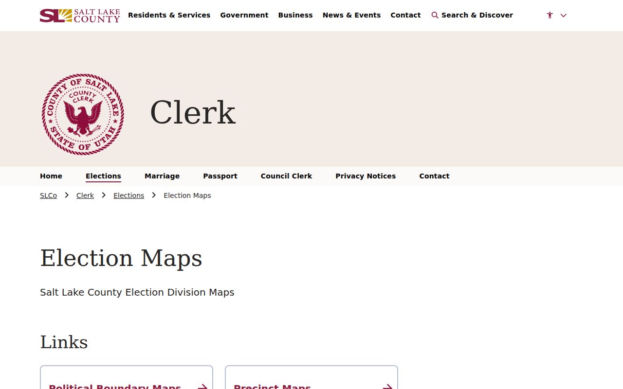
Salt Lake County district maps include Sandy districts 1 through 4. Pair a district map with the voter-source date because district assignments and boundaries can change. Council districts are useful for routing agendas and local policy questions, but they do not prove that a named person lives inside the district.
Neighborhood Watch is a community layer. The city did not publish an exhaustive HOA or association membership directory in the inspected material. Respect that gap. Use a public meeting or official contact route when a community question needs follow-up.
Boundary Records Can Split a Block
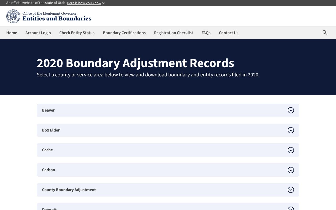
A Sandy mailing address can describe a County Island, and a ZIP line can cross a municipal edge. Sandy’s Neighborhoods page discusses County Islands and annexation eligibility. Utah Entities and Boundaries lists 2020 Sandy adjustments including Rossett Green Lane, Escalante Barcelona, Sublette Circle, and Robidoux. Those named, dated records are useful when the city layer and county parcel layer appear to disagree.
For an edge address, compare the Sandy map, county Parcel Viewer, Utah ZIP polygon, and USPS address result. Preserve statuses such as incorporated Sandy, county island, postal city only, or uncertain. Search City Recorder or Legistar separately from County Recorder records. A city map does not replace a parcel or recorded legal description.
What a Public Voter Match Means
Utah voter search fields are First Name, Last Name, Date of Birth, Street Address, City, and Zip. Public information can include name, physical and mailing address, age range or year-of-birth presentation, party affiliation, and vote history showing elections in which a person participated. It does not show how the person voted. DOB, phone, email, Social Security number, and driver-license or state-ID data are protected.
At-risk records are withheld from the public, parties, and candidates. Safe at Home provides a substitute address and mail forwarding for eligible survivors who fear danger. Do not use parcel maps, directories, or voter results to reconstruct an address that a program has protected. A voter match supports a dated registration match, not a complete list of people on the block.
Past Neighbors in Sandy Directories
The University of Utah digitized Utah City Directories Collection contains 232 items organized by residents, streets, businesses, organizations, institutions, publishers, and geography. Polk volumes from 1921, 1930, 1933, and 1939 include Sandy or suburbs. Suburban volumes from 1974, 1979, and 1980 continue the valley record. A 1930 run includes street and householders, private-citizen, classified-business, business-map, and buyers’-guide sections.
Search the street section when the name spelling is uncertain. The County Library genealogy route includes Utah Digital Newspapers and Utah NewsSearch, but OCR needs page-image review. Historical directories can show a past householder or nearby business. They cannot establish a current neighbor or explain why someone left. For a full collection guide, use the Directory Book page.
Official Rolls Versus Neighbor Tools
Commercial neighbor tools may combine data from many sources, but the category can be costly, stale, or unclear about record dates and roles. Official sources are narrower but let the reader see the custodian and access rule.
| Approach | Strength | Limit |
|---|---|---|
| County parcel and Recorder records | Named custodian, parcel, legal description, recorded instruments | Owner is not automatically an occupant |
| Utah voter search | Defined public fields and election participation history | Protected and at-risk records are withheld |
| Sandy civic maps | District, neighborhood, ZIP, and Watch-group context | No resident or member roster |
| Commercial category | May combine clues in one interface | Source, freshness, cost, and lawful-use limits vary |
A block search should favor the smallest official record set that answers the question. Save the source date and do not copy protected identifiers into a public note.
Words That Keep a Block Search Honest
“Neighbor” is a social word. Public records use narrower labels.
- Adjacent parcel
- A mapped land unit that touches or faces the starting parcel.
- Owner
- The name on a dated assessment or recorded instrument.
- Occupant
- A person associated with an address in a directory or household source.
- Tax district
- A county assessment or service area shown with a parcel, not proof of a person’s residence.
- County Island
- An area that may use a Sandy mailing label or services without being inside the incorporated city.
Use an address, parcel, date, and record role for each match. A name plus ZIP is not enough. If a source gives no result, state that it was not visible in the public interface on the search date.
Privacy Limits on a Sandy Neighbor Lookup
Public maps do not show utility customers, delivery data, every household member, or all renters. Voter, vital, court, adoption, and criminal-history records can be protected or restricted. The city’s civic layers do not provide association membership. The best block lookup stops when the lawful personal question is answered.
Lawful use. Sandy neighbors research is for getting to know a block, family history, reconnecting, and civic awareness. Do not use a neighbor lookup to watch, stalk, harass, intimidate, or harm another person, and do not work around a protected-record designation.
For the full record chain of one named street, use the Sandy Street Directory. For one person, use a narrow resident lookup and confirm the record with its custodian.